-Antelope Lake Road (#29N43) remains closed-
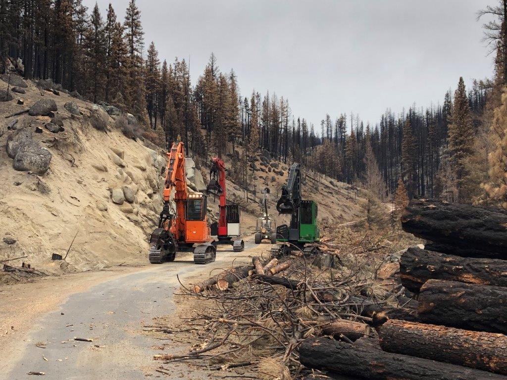
QUINCY, Calif. – Plumas National Forest officials have reduced the size of the Walker Fire area closure. Antelope Lake Road (FS #29N43 / Forest Route 172) remains temporarily closed due to hazard tree removal activities, and subsequent road repairs.
The closed segment of Antelope Road begins at the eastern end of Genesee Valley, north to the Antelope Lake dam. A portion of Forest Service Road #28N03 on the southwest side of the lake is also closed. The road, trail and area closure will be in place 24-hours per day due to unsafe conditions including log decks on roads, active heavy equipment operations, and other road hazards during and after hazard tree removal & reconstruction operations.
Alternate routes to Antelope Lake include:
- Taylorsville: Plumas County Road 213 (Diamond Mtn.) through the North Arm of Indian Valley (north of Taylorsville) and east on Forest Service (FS) Road (Rd) #28N03
- Milford: Lassen County Rd 336 (Milford Grade) south, continuing on (turns into) FS Rd. #26N70 and then northwest on FS Rd. #28N03
- Janesville: Lassen County Road 208 (Janesville Grade), south to Forest Service Road #26N70, and then northwest to FS Rd #28N03.
- Susanville: Lassen County Rd 204 (Gold Run), south to Plumas County Rd 213 (Diamond Mtn.), and then east on FS Rd #28N03.
For more information about alternate routes, route conditions, and other information about the closure area, please call the Mt. Hough Ranger District at (530) 283-0555 or the Beckwourth Ranger District at (530) 836-2575.
Federal, state and local officers and members of organized rescue or firefighting forces in performance of official duty and those with specific permits or contract language allowing them use of the roads may access the Antelope Lake Road and other areas within the closure following coordination with the applicable Forest Service staff.
While officials will continue to monitor area activities and adjust the closure where possible, Antelope Lake Road is likely to be closed through this fall as a function of proposed salvage timber operations.
A map of the closure area and other Plumas National Forest information is available at http://www.fs.usda.gov/plumas .
###

